One of the most important creative tips I ever got was to avoid genre incest.
This advice takes many forms, with perhaps the most common being: “Read outside the genre.”
The earliest memory I have of this advice goes all the way back to when I was about eight years old and downloading the writer’s guidelines for Star Trek novelizations off the Prodigy service. The editor of the line basically said (albeit in much more polite terms), “If your only influence for writing a Star Trek story is having seen 100+ episodes of the TV shows and reading 50+ novels, you are almost guaranteed to produce some unreadable, derivative crap just like the other 25,000 hacks dive-bombing our slush pile.”
I can also remember, when I was about six years old, reading Asimov’s Foundation Trilogy and promptly sitting down to write a story about the fall of a galactic empire. About three pages in I realized I didn’t actually have a story to tell that wasn’t Asimov’s story, and I can very precisely peg revelation as the moment in which I discovered the importance of having a good idea.
(It was several more years before I realized that a good idea is only about 1/10th of the work, although it does help to make the other 9/10ths far easier.)
I seem to blithering. Where was I going with all this?
Ah, yes. Research!
So if I’m designing the map of a fantasy city, it’s important not to spend all my time looking at other people’s maps of fantasy cities. Coming into the project I already brought a weird and eclectic mix of knowledge –ranging from the study of medieval cities to classes in urban planning.
And I’m also lucky to be living in this day and age, because Google Earth makes it almost trivial to snag satellite imagery detailing the layout of streets and the shape of real buildings. So, as part of my prep work, I spent a couple of hours grabbing evocative and visually interesting satellite photos from a variety of cities:
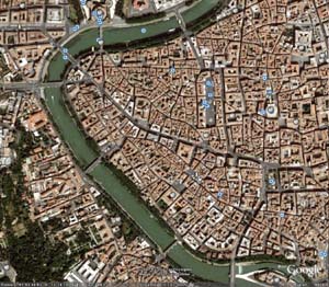
Rome
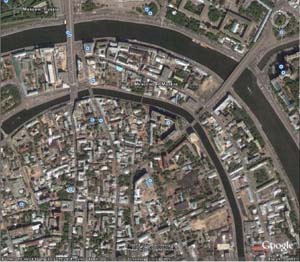
Moscow
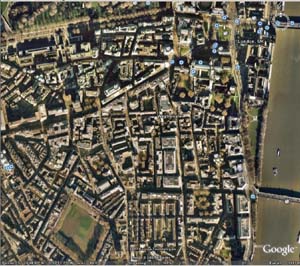
London
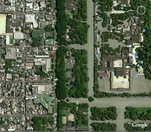
Kyoto
Because Anyoc was built entirely on one large hill, it was particularly important for me to be able to look at how streets and hills historically interacted (before the modern era when streets tend to simply cleave through the local geography). What I discovered that roads will generally follow the curve of the land, but not always precisely and often with exceptions. (It may be difficult to climb straight up that steep hill, but sometimes it may be easier than the alternatives.)
This was a good lesson to learn, because before studying these real world cities I had an inclination towards making the roads follow the geography almost religiously. I’m glad I moved away from that, because the result looked very unnatural — resembling something closer to the contour map instead of a city.
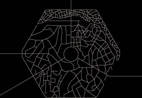
When I was done, I (literally) had my road map:

