Phandalin and the surrounding region of the Sword Coast have featured in three D&D adventures:
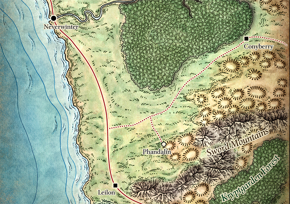
Each of these adventures have featured a slightly different versions of a region map drawn by Mike Schley. At the moment, I’m specifically interested in the various versions of the map designed to be given to the players as a handout. The best of these is probably the poster map found in the D&D Essentials Kits (to accompany Dragons of Icespire Peak), but all of them are fatally flawed as player maps because they spoil the adventures — not only showing locations that the PCs don’t know about yet (“Boy, I wonder if Icespire Peak — the only mountain labeled on this map — will be significant at some point…”), but frequently showing hidden sites that the PCs are supposed to go on adventures in order to locate.
NPC: But where could Cragmaw Castle be?! Nobody knows!!!!
Players: It’s right there.
NPC: If only someone could find it!
Players: It’s right there.
NPC: It’s a mystery wrapped in an enigma, baked into a souffle!
So I wanted a version of the map I could actually give to the players. I also, for purely personal reasons, wanted a version of the map without the hex grid.
Fortunately, you can purchase a digital map pack from Mike Schley that includes multiple versions of the map, including one with no grid and no labels.
The only catch, though, is that I don’t want NO labels… I want some labels: The roads. The major cities. And so forth. And I suspect I’m not the only one.
So what I’ve done is to create label layers that will let you control exactly which labels you want on your version of the map:
- Roads & Cities
- Regions
- Mountains
- Thundertree & Helm’s Hold
- All Layers
To use these labels:
- Download the files below.
- Buy the map pack from Mike Schley (also linked below).
- Load the no-label map from the map pack into any graphic program that allows you to easily add and edit layers. Then add the PNG layers you want.
The layer files should line up perfectly with the map and with each other.
Alternatively, I’ve included a PSD file that you can use with Photoshop. (You’ll still need to add the no-label map from Schley as the background layer.)
ALTERNATIVE MAPS
Phandalin Hexmap
Reveilled’s Phandalin Player Map


> Phandalin and the surrounding region of the Sword Coast have featured in three D&D adventures
No one remembers poor Acquisitions Incorporated. 🙁
I would think that the significance of Icespire Peak is already spoiled for the players by the title of the adventure. Unless the DM keeps adventure titles a secret, of course, but my DMs usually tell us what adventure we’re playing, or even offer a selection to choose from in advance.
I havent read icespire peak so idk if trying to find it is important, but I always like telling my players the adventure titles when we start running partly for clarity so they know its pre written and what book not to read (I trust my players with this) but also for the power of a funny title drop always being at hand. I know the dnd beyond page for lmop had one player version of phandalin region map, but it still was less useful than this because it markeed thundertree, an area I and many other DMs deliberately remove for not fitting the adventure well. If my players did go “What’s that Thundertree place on the map?” I had a vague plan for how to rework it but I would rather not have risked it.
@Doodpants: Absolutely! And if that’s the case for you, just include that layer!
But it’s actually why I think Dragon of Icespire Peak is a bad name for that adventure. Same reason Citizen Kane isn’t called Rosebud is the Sled.
@Cassapphic: The DoIP version of the player map is probably the best one produced by WotC, for exactly the reasons you describe. If I hadn’t been able to create these tools, it’s certainly the one I would have used instead. But, as you note, it still has some shortcomings.
“Icespire Peak” may be prominent when looking at the title, the map or the damn mountain range in-world… but it’s a complete red herring. All the adventurers will get from climbing it in freezing cold is the realization that their dragon’s lair is on another mountain, a good 5 miles away. And the dragon might not even be at home.
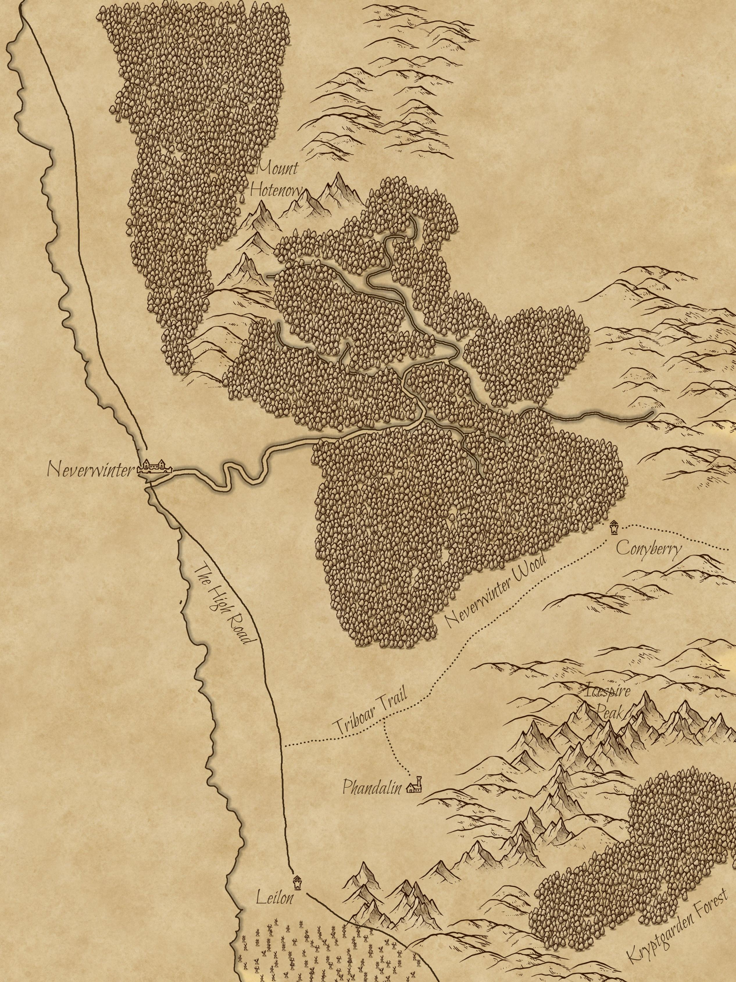
Not to mention that both it and Mount Hotenow are on the LMoP map as well despite having zero relevance to the adventure.
I had the same problem. And since I can draw I drew stuff for my own players. I have several version to share online if anyone wants. Just right click and save image.
https://www.artstation.com/artwork/9mmwXy
Those are beautiful maps, MapsOnFire!
There’s a lovely large map of the region in D&D Adventurer magazine (a UK partwork that tries to teach newcomers how to play) but it, too includes the magazine adventure sites on it, rendering it less than useful.