Souls objectively exist in D&D. They’re quantifiable, observable, and even consumable.
This turns the question of “soul” from a matter of abstract philosophy to absolute practicality; and one which is of particular importance to D&D adventurers, whether in the form of undead, raise dead spells, or interplanar adventures.
From this practical standpoint, there are several key questions:
- Where do souls come from?
- How can the souls of the living be interacted with?
- Where do souls go after you’re dead?
- And, given the answer to the previous question, what is the actual experience of being raised from the dead?
Over the past few decades, some of these questions have been given clear answers, others have been given partial answers, and some have been largely ignored.
A SOULFUL RETROSPECTIVE
Let’s start by taking a look at how the “soul” (and its disposition) in D&D have developed over the years.
Going back to the original edition of D&D in 1974, we will discover that souls are not explicitly discussed. However, there is the magic jar spell:
By means of this device the Magic-User houses his life force in some inanimate object (even a rock) and attempts to possess the body of another creature within 12” of his Magic Jar.
In Supplement III: Eldritch Wizardry (1976) we find the first explicit reference to a “soul” in a similar context:
Demon Princes maintain their vital essences in small containers – their souls, so to speak, are thus at once protected and yet vulnerable if some enterprising character should gain the amulet.
In the original AD&D Player’s Handbook (1978) these became known as “soul objects” and the exorcise spell could be used to force souls within those objects to inhabit the nearest material body. (As a random bit of lore, in the Dungeon Masters Guide (1979) we are told that jet is a suitable material for making soul objects.)
These references may seem quite slight, but they actually tell us several important things: First, the soul objectively exists and, although it exists within a mortal body, it is separate from that body. Furthermore, magic can be used to control and even physically move a soul.
This theme is developed through the trap the soul spell, which is “similar to magic jar, except that the trap the soul spell forces the subject creature’s life force (and its material body, if any) into a special prison magicked by the spell caster.” This is referred to as a “soul prison,” and notably implies that souls can exist entirely separate from any material form or container (“material body, if any”).
Meanwhile, the mind blank spell and amulets of life protection will guard their users against trap the soul, fleshing out the vision of a magical struggle over souls. The Void card from the Deck of Many Things indicates that the “body functions, but soul is trapped elsewhere,” revealing that animate bodies can continue to function in a soulless state. Undead are similarly defined as “soulless monsters.”
One last mention of the soul in the Dungeon Master’s Guide indicates that an artifact or relic can be destroyed by causing “it to be seared by the odious flames of Geryon’s destroyed soul.” From this we learn that souls are not necessarily eternal; they can be destroyed.
These scant references to the soul, you may note, do not include any of the various magical spells and effects which can return the dead to life. These spells do not, in fact, discuss the soul’s role in this. The closest we get to such a discussion is the reincarnate spell, which doesn’t explicitly mentions souls, but does say:
Druids have the capability of bringing back the dead in another body if death occurred no more than a week before the casting of the spell.
The new body is created randomly by the spell, but the key insight in all this is that a person’s entire personality and memories are housed in their soul. Who you are as a person? That is absolutely and completely your soul. Your body is just a meat shell that houses it.
Similar material along these lines can be found in the early monster books. (For example, in the Monster Manual II (1983) nereids have shawls which contain their souls.) But we also find that phantoms are “soulless shells left behind,” which means that even ghost-type undead are soulless, not disembodied souls, and also reminds us that undead often retain the memories and (often warped) personalities of their mortal selves, even though the soul is gone.
So is there also some form of “memory” in the flesh that is separate from the soul? As a non-undead example, shades have “traded their souls or spirits for the essence of shadowstuff,” which is metaphysically fascinating: Did the soul get displaced? Destroyed? Transformed? It’s rather vague.
A TANGENT ABOUT LICHES
In terms of monsters, liches are particularly interesting when it comes to analyzing souls.
These days, the more or less defining trait of a lich is that they have a phylactery, which houses their soul, and they can only be permanently killed if their phylactery is destroyed. But this was not originally the case.
When liches first appeared in Supplement I: Greyhawk (1975) they didn’t have phylacteries at all, and this appears to have remained true in Basic D&D.
In AD&D, the Monster Manual (1977) says, “The lich passes from a state of humanity to a non-human, non-living existence through force of will. It retains this status by certain conjurations, enchantments, and a phylactery.”
But the exact function of the phylactery is not detailed and no mention of it holding the lich’s soul (or preserving their immortality until its destruction) is made. The Dungeon Masters Guide actually defines a “phylactery” as “an arm wrapping with a container holding religious writings, thus a form of amulet or charm,” and there are other phylacteries given in the list of magical items: A phylactery of faithfulness will alert the wearer of actions that would violate its alignment; a phylactery of long years slows the aging process; and a phylactery of monstrous attention is a cursed item which draws supernatural creatures to its wearer.
I’m not completely certain when our modern understanding of the lich’s phylactery was introduced, although it appears as such in the 2nd Edition Monstrous Compendium (1989).
In the Monster Manual II, the lore of the lich is also developed into the demilich:
[The lich] has taken the steps necessary to preserve its life force after death. Ultimately, even the undead life force of a lich begins to wane. Over centuries the lich form decays, and the evil soul roams strange planes unknown to even the wisest sages. This remaining soul is a demilich.
Note that this means that a lich, unlike other forms of 1st Edition undead, has a soul.
The demilich also has a trap the soul ability, but it can notably use those souls as fuel to create magical effects. This also permanently destroys the soul. (We’ve seen a brief reference to souls being destroyed before, but here we learn that it can be done through magical means and also that souls can be used as a resource.)
In the Fiend Folio (1981) there are also skeleton warriors, which were “forced into a lich-like state ages ago by a powerful and evil demi-god who trapped each of their souls in a golden circlet. A skeleton warrior’s sole reason for remaining on this plane is to search for and regain the circlet which contains its soul.”
A PLANAR COSMOLOGY
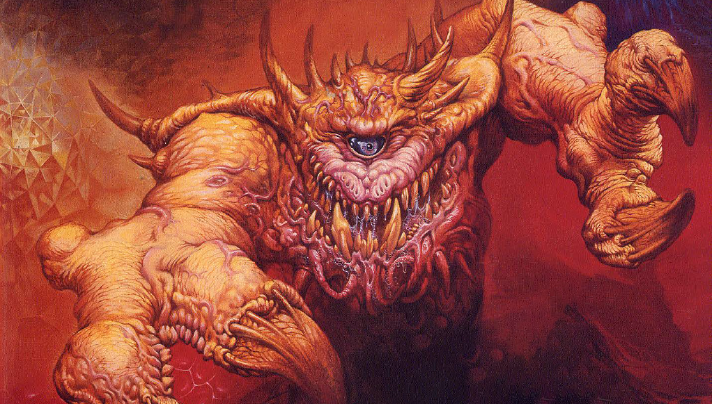
Other references in the early monster books begin to hint at what happens to a soul after death. For example, in the Monster Manual “larvae are the most selfishly evil of all souls who sink to lower planes after death” and quasits are “larva turned into a minor demon form.” We also learn that quasits who are deemed worthy can advance into type I or II demons.
One of the ways in which quasits can prove their worth is by stealing souls from the Material Plane. Similar motivations are ascribed to Erinyes (who are sent forth to “garner more souls”) and, from the Fiend Folio, styx fiends (who search for souls to take back to Geryon).
Devils have a similar progression, with lowly lemures potentially advancing to become spectres or wraiths. (This would later shift to the lemures becoming higher forms of devils.)
Demons are often described as stealing souls by murdering them, but for devils “it also typically requires a contract for the soul of the creature commanding the infernal power to obey.” Notably, chaotic evil quasits are described as targeting lawful evil mortals for destruction, stealing souls which would otherwise be claimed by the devils.
From this we learn that in the Outer Planes there is some form of competition over mortal souls.
Nor is this limited to demons and devils. From the Manual of the Planes we learn that lanterns are “the lowest form of archons. They are the spirits of the newly dead (the equivalents of larvae in the lower planes).”
But what are the Outer Planes?
In July 1977, Gary Gygax published the article “Concepts of Spatial, Temporal, and Physical Relationships in D&D” in Dragon #8. No information is given in this article about souls (either their movements or their final fate), but it’s significant because it lays out a rudimentary version of the Great Wheel cosmology for the first time.
For those unfamiliar with the Great Wheel cosmology, here’s the quick version:
- The mortal world is the Prime Material Plane. (There are generally understood to be an infinite number of these existing as parallel realities.)
- The Prime Material Plane is surrounded by the Ethereal Plane and various elemental planes, collectively known as the Inner Planes.
- The Inner Planes are connected, via the Astral Plane, to the Outer Planes.
- The Outer Planes are associated with the nine alignments – Lawful Good, Lawful Neutral, Lawful Evil, Neutral Good, Neutral, Neutral Evil, Chaotic Good, Chaotic Neutral, and Chaotic Evil. (Most of these planes are composed of multiple layers – for example, the Nine Hells have nine layers, one for each of the Hells – and there are usually a number of intermediary planes, too.)
In the AD&D Players Handbook, a revised version of this article with improved diagrams was included as “Appendix IV: The Known Planes of Existence.” It notably provided the definitive list of Inner and Outer Planes that would dominate D&D cosmology for most of its history.
The 1977 article also suggests that creatures which have immunity to non-magical weapons have the immunity because they simultaneously exist on multiple planes of existence and only weapons which similarly exist on multiple planes of existence can affect all their forms simultaneously. Some creatures exist not just on two different planes, but three or four (requiring +2 or +3 weapons, respectively). By similar logic, magical weapons can strike creatures on the Ethereal or Astral Planes because the weapon is co-linear with those planes. There’s also a suggestion that special materials (silver, cold iron, etc.) can also strike in both planes simultaneously (and I was struck by the idea that each such material could be associated with a specific plane).
This idea was dropped, but I think it’s rather interesting. It probably has a minimal impact on the subject of souls, although if we were to combine it with the concept that the soul and body are separable, we could certainly postulate that Outer Planar creatures who are summoned to the Material Plane only appear there in the form of their physical body; with their soul remaining safely in the Outer Planes. We could further refine this idea by suggesting that the magical weapons do not actually strike all the way to the Outer Planes, but rather can affect the connection between the Outer Planar entity’s manifestation and their soul (something akin to the silver cord which connects mortal souls to their bodies when traveling through the Astral Plane).
This would provide a more detailed metaphysical principle for why, as described in Deities & Demi-Gods (1980), gods, demons, and so forth cannot be permanently slain on the Material Plane:
If any servant or minion of a deity (or even the deity itself) is slain on its home plane, that being is absolutely and irrevocably dead. No power in the multiverse can restore that being, including action by other deities. In one’s own plane a being is figuratively backed into a corner, with nowhere for the spirit to go upon death.